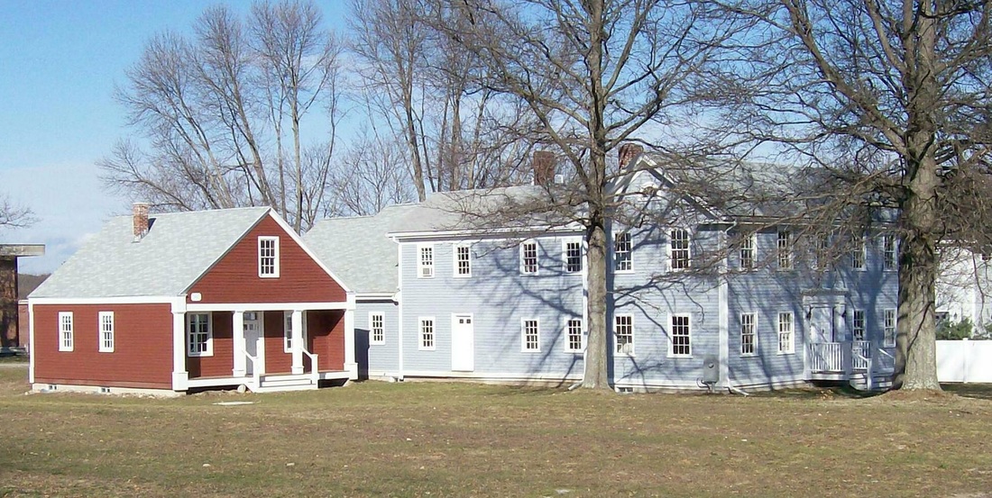
 The Needham Historical Society, including the old schoolhouse in red on the left. (Photo from the North American Reciprocal Museum Society) Sam Cruickshank, GBP Student
On a frigid morning in January, the GBP class headed over to the Needham Historical Society. Located directly next to the Newman Elementary School on Central Ave., the Needham Historical Society is often overlooked or mistaken for a regular house. Founded in 1915, the information that the society has in the form of many historical maps and documents is immense for such a small venue and non-profit organization. On this specific visit, our second one this year, our class focused on several documents and maps from the Antebellum Period, which is the period in U.S. history that goes from the early 1800s all the way up until the Civil War. As we entered the Historical Society, half of our forty four student class crammed into the old one room schoolhouse that the Historical Society uses as an educational space for students, shedding jackets and coats as soon as we felt the warmth. Right away, we started looking at documents, which were set up into various stations around the room. I found two of the stations’ documents particularly interesting on this visit. The first was a selection of four maps of the town of Needham. These maps were from the years 1771, 1836, 1856, and 1854. I paid special attention to the maps from 1836 and 1856, because there were two interesting changes between those maps. The first was that the town of Wellesley, which borders Needham, was a part of the map in 1836, but not in 1856. My group joked about this, referencing the recent Thanksgiving Day Football Game played at Fenway Park, noting how we “didn’t want them anyway” and that “they were better off as West Needham in the first place.” All jokes aside, this was a major development in the suburbs of Boston, as it allowed for two different communities to develop, and eased the space clenches on a growing population. Additionally, the addition of a railroad to the town of Needham was very significant on the map from 1856. My group noticed that there were many streets and roads located around the railroad stops, and it was clear that the railroad led to population growth in Needham. The railroad and the train is still an integral part of the town of Needham today, as many people (including the Greater Boston Project classes, on occasion) take the MBTA Commuter Rail into Boston every day to get to work. The second document that piqued my interest was a document that talked about an anti-slavery meeting that was held in the Unitarian Meeting House in Needham. We recently finished reading the book Ten Hills Farm by C.S. Manegold, which talks about how slavery existed in the North, basically to the same degree that it existed in the South. I found the book somewhat disturbing, and I was confused as to why I had not learned this history before. I found the document from the Unitarian Meeting House reassuring. It showed me that the community of Needham did realize the injustices of slavery,and they were going to try and do something about it. Although we mainly focus on the history of the city of Boston, it was nice to slow things down and take a look at our local history right here in Needham. We took the time to look at and analyze specific documents, a hallmark of the GBP experience. Leave a Reply. |
GBP BloggersThis blog is powered by both the students and teachers of the GBP course. Check back often for features on what we've been up to in class! Archives
May 2016
Categories
All
|
 RSS Feed
